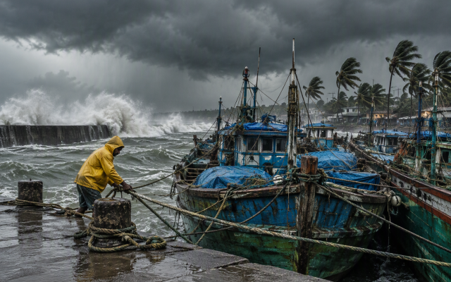
The India Meteorological Department’s National Bulletin No. 14 on Severe Cyclonic Storm Murasu, issued at 11:30 IST on 2 November 2026, forecasts the storm to cross the Andhra Pradesh coast between Nellore and Narsapur, to the south of Ongole, with wind speeds of 100 to 110 kmph gusting to 120 kmph during the midnight hours of 2 to 3 November.
That is a forecast statement, and the distinction is not pedantry in a cyclone. The bulletin’s own wording is the authority on what was expected at the time it was issued; whether and where the centre actually crossed is settled by the bulletins that follow. Readers in the affected districts should be working from the latest document on the IMD’s cyclone warning page rather than from any summary, including this one.


The wind field is the immediate hazard. Sustained winds of 100 to 110 kmph with gusts to 120 are enough to fail tin roofs, uproot trees and take down power distribution lines across a wide area, which is why the electrical and disaster-management advisories that accompany a bulletin of this level are usually written around shelter rather than around the storm’s track. The bulletin also describes high to very high rain along and off the Andhra Pradesh coast from the morning of 2 November till the morning of 3 November, with extremely heavy falls at isolated places on 3 November.
Rain inland is the part that gets least attention and does the most damage after landfall. A storm that crosses a coast and then stalls or moves slowly over the hinterland converts its moisture into flooding in districts that were never in the landfall window — which is why the districts listed in an IMD bulletin’s rainfall warning are routinely wider than the districts named in the crossing statement.
The coastal districts between Nellore and Narsapur were already recovering from the previous cyclone system in the Bay this season, and the practical difference between the two events for residents is that preparedness fatigue is real: NDRF teams were moved into Andhra Pradesh from Tamil Nadu ahead of this landfall, and the warning level was raised on the strength of the intensification the commission saw on 2 November. The correct response to a repeat storm is not to treat it as a repeat of the last one.