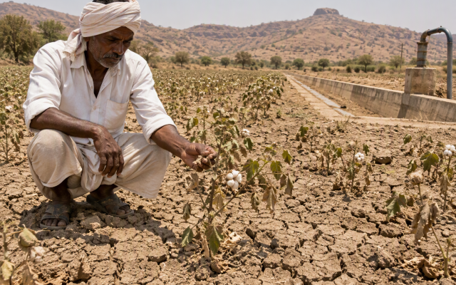
Cyclone Arnab formed over the Bay of Bengal on 25 October, intensified into a very severe cyclonic storm and crossed the Andhra Pradesh and Yanam coasts on the morning of 28 October. It was the first named storm of the 2026 North Indian Ocean season, according to NASA’s Earth Observatory — and forecasters are already watching for the next.
What Arnab did
Wind speeds reached about 135 km/h at landfall, according to Al Jazeera. Reuters reported at least three deaths and more than 180,000 people evacuated across two states, with 180 homes damaged and 220 trees uprooted in Andhra Pradesh alone. The storm weakened as it moved inland, but its rain reached Odisha and parts of West Bengal.


A second system in the models
On 27 October, Down To Earth reported that weather models indicated another cyclonic system could develop over the Bay and approach the Odisha coast in the coming days. That is a forecast, not a warning. Model runs disagree on track, timing and intensity, and a system that stays a deep depression is a very different problem from one that becomes a named cyclone.
Why back-to-back systems are harder than one
- Saturated ground. The second storm’s rain runs off instead of soaking in, so flooding starts sooner.
- Full reservoirs. Dams and tanks have less room to absorb another burst of rainfall.
- Damaged infrastructure. Embankments, roads and power lines are already stressed from the first storm.
- Alert fatigue. Warnings issued days apart can blur together for residents.
What the agencies are doing
The India Meteorological Department issues district-level colour-coded warnings, and state machinery pre-positions relief teams and fishing advisories. For the public, the most reliable signal is the district bulletin — not a single model map shared on social media.
What to watch
- Whether the system is named, which means it has reached cyclonic storm strength.
- The landfall window and which districts sit inside the forecast cone.
- Rainfall totals inland, which cause most of the flooding even after the wind eases.
The bigger picture
The Bay’s post-monsoon season runs from October into December, and October is often its busiest stretch. One storm is weather. Two in quick succession is a strain test on forecasting, evacuation and relief at the same time.
Arnab’s passage was short. The risk window is not.